Welcome to KuSeRa, the online antique trade Germany,
We hope you enjoy looking at our Antique Market - Flea Market - Junk Market - collectors market page.
Here everyone can find something.
From antiques, junk, utensils, porcelain, glass, analogue camera, Design, Art to collectibles.
Everything from a single source.
")
")

![]()
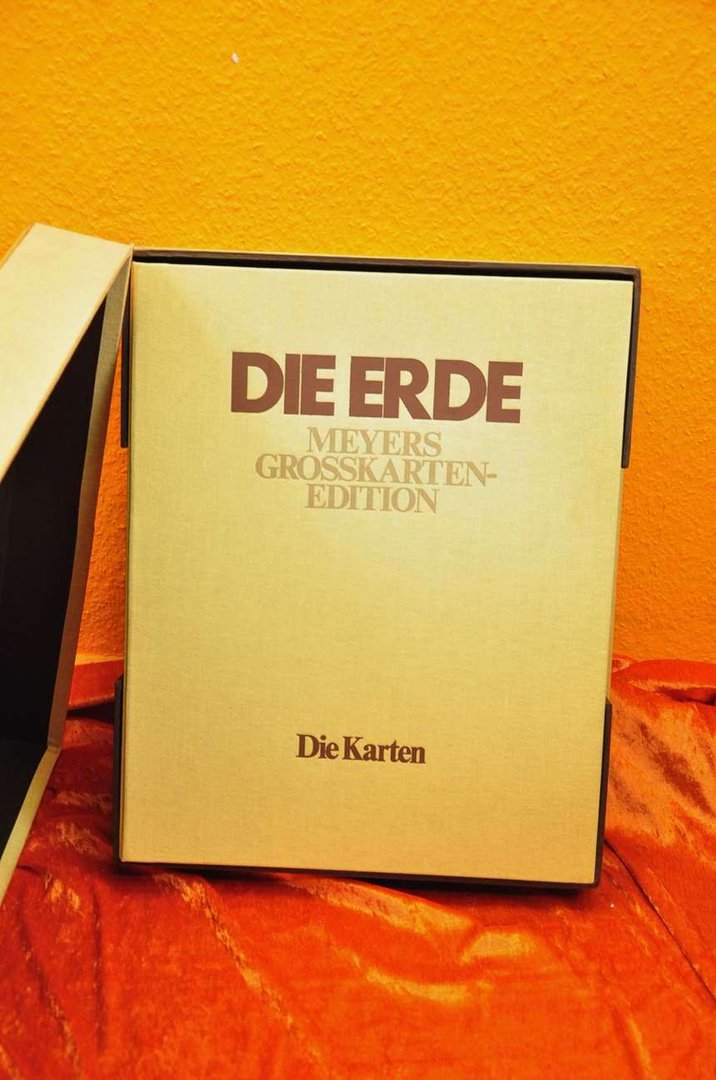
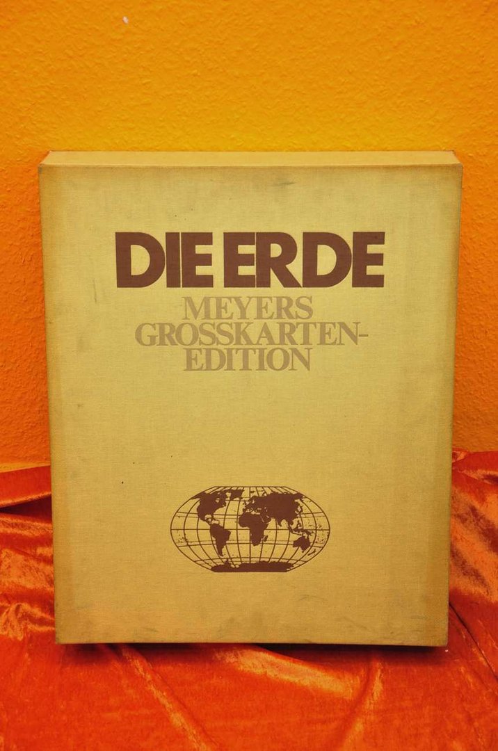
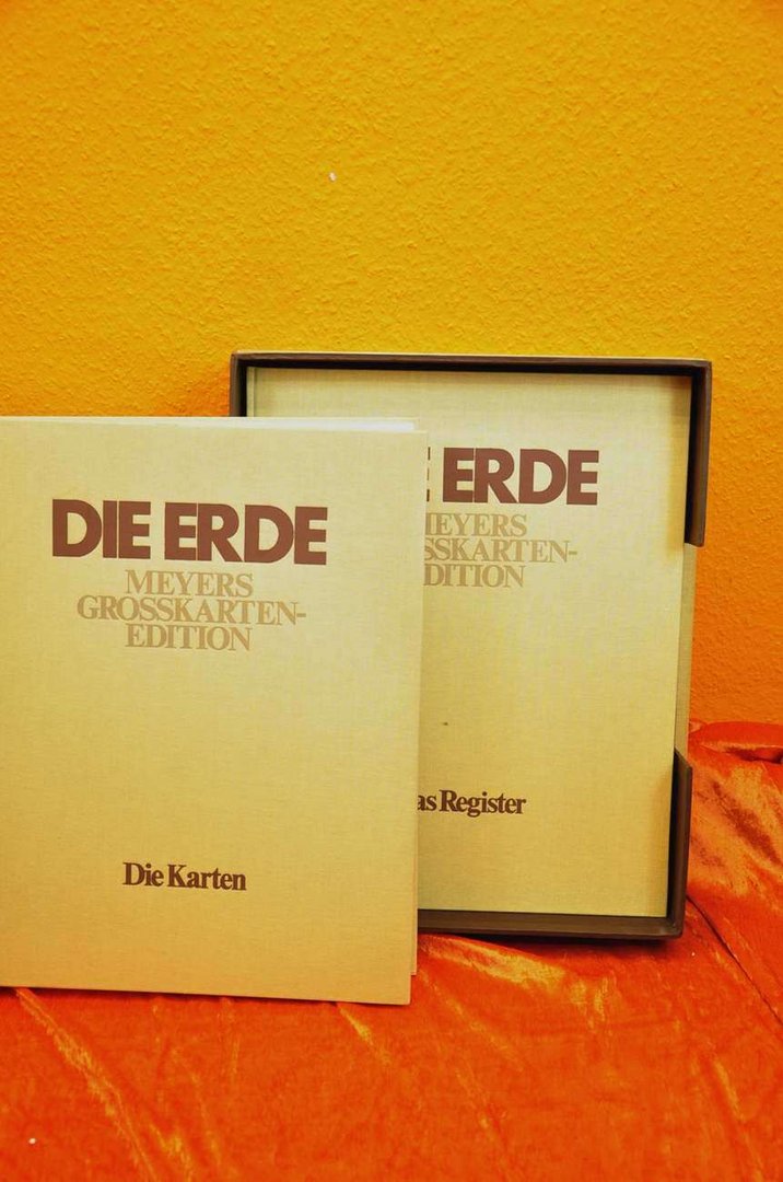
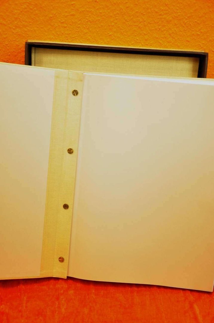
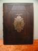
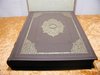
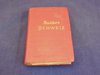
Main page Books Atlases & Maps Jubiläumsausgabe Meyers Großkarten Edition Die Erde
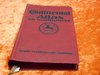
Jubiläumsausgabe Meyers Großkarten Edition Die Erde
Product no.: xall-0001935sold
Notify on availability
95.00 €
Price includes VAT, plus delivery
Accessories
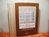
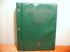
 In German Meyers Neuer Weltatlas 1989
 20 Bd. Meyers grosses Konversations Lexikon
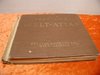
 1938 Meyers grosser Hausatlas
 Meyers kleines Lexikon drei Bände in german
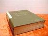
 Meyers Travel Books Adria 1930
 30er Jahre Berliner Volksatlas für die oberen Klassen
 Justus Perthes 1880 Stielers Handatlas 95 Karten
 Kiepert new hand Atlas Kieperts Reimer 1871
 Jubiäumsausgabe Velhagen & Klasings Grosser Volksatlas
 Bookends made of wood with rotatable globe
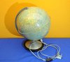
 Columbus Duplex illuminated globe
 Dietrich Reimers globe Berlin of 1938
 Small Columbus globe of 60s
 Gaeblers World traffic map 1941 color printing 120x80
 Map 1850 Cabool, the Punjab and Beloochistan J.B.Allen
 Map Brockhaus 1906 European Russia I-II
 Map Brockhaus 1906 Army dislocation Central Europe I-II
 Map Brockhaus 1906 Mid West Germany II
 Map Brockhaus 1906 North America I-II
 Map Brockhaus 1906 East-West Prussia, Pomerania, I-II
 Map Brockhaus 1906 East Asia I-II
 Map Brockhaus 1906 Polar countries I-II
 Map Brockhaus 1906 Switzerland I-II
 Map Brockhaus 1906 Scandinavian countries I-II
 Map Brockhaus 1906 Spain and Portugal I-II
 B.Balduinus de calceo antiquo 1733 History footwear
 German school atlas 1878 Liechtenstern Lange
 Humbold Ritter 1865 Geschichte der Erdkunde
 Sächsischer Schulatlas Ausgabe Dresden in German
 Elemente der Geographie in Karten u. Text
 Westermanns general maps No.44 world map 82 x 124 1942
 Hand Atlas for the German House 1934
 HARMS A map series for Berlin schools 1938
We also recommend
 |
 |
 |
 |
 |
 |
 |
 |
 |
 |
 |
 |
 |
 |
 |
 |
 |
 |
 |
 |
 |
 |
 |
 |
 |
 |
 |
 |
 |
 |
 |
 |
 |
 |
 |
 |
 |
 |
 |
 |
 |
 |
 |
 |
 |
 |
*
Prices include VAT, plus delivery
Browse these categories as well: Atlases & Maps, Design of the 1970s, others
About us |
Service |
Social Media |
Interesting Websites |
| Contact information | Special Offers | google+ |
|
| Main Page | |||
| Terms and conditions | Sales Agent questions | ||
| Privacy Statement | General questions | Travel bear | |
| About us | Shipping Info | blog | Brand Lexicon |
| History and stories | Price proposal | The ecological approach | Worth knowing from A to Z |
| Sitemap | Interesting websites | ||
| Image Gallery - Sold | Tips for Berlin tourists | Purveyor to the court Gebr.Friedlander | |
| Homepage | Promotional products | Guest book | Technology of binoculars |
| Selling Stories | FAQ Frequently Asked Questions | Decoration-proposals-examples | |
| Biographies designer/artist | |||
| Tips silver cleaning |