Welcome to KuSeRa, the online antique trade Germany,
We hope you enjoy looking at our Antique Market - Flea Market - Junk Market - collectors market page.
Here everyone can find something.
From antiques, junk, utensils, porcelain, glass, analogue camera, Design, Art to collectibles.
Everything from a single source.
")
")

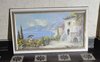
![]()
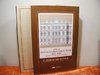
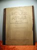
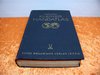
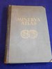
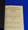
Main page Books Atlases & Maps Justus Perthes 1880 Stielers Handatlas 95 Karten
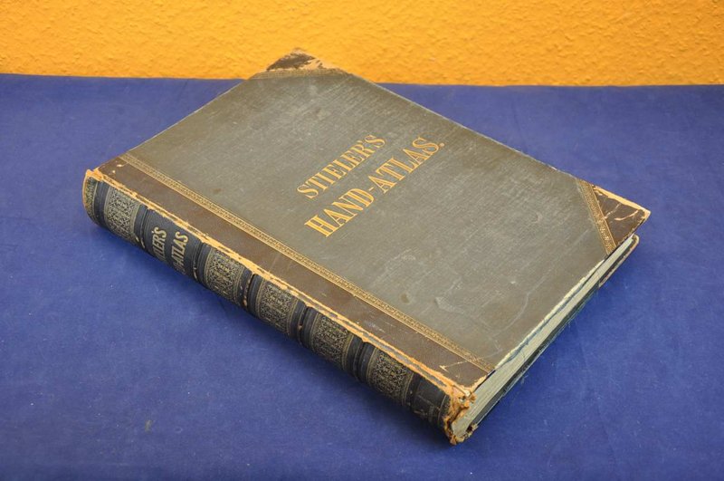
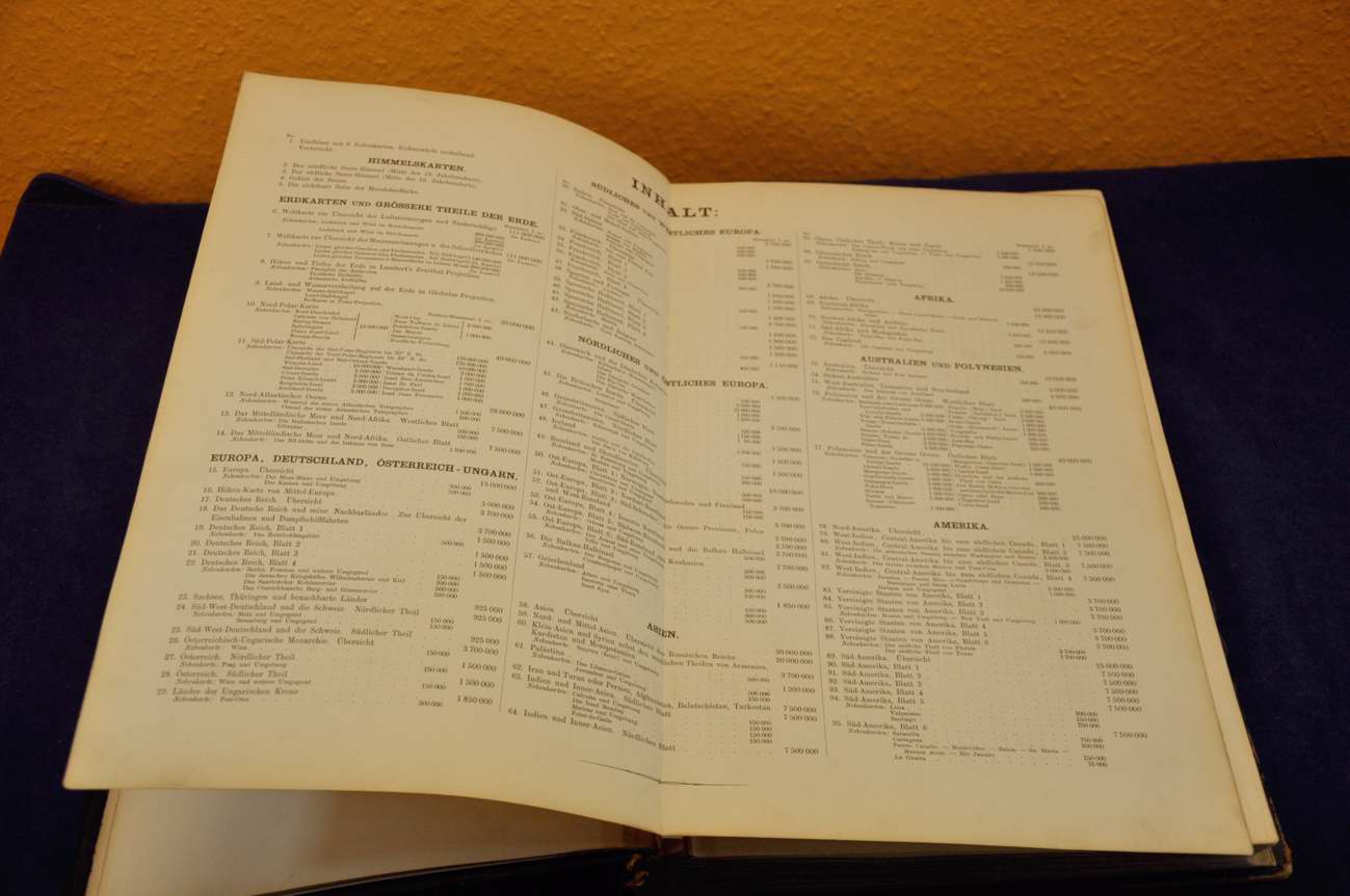
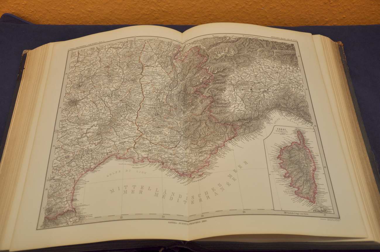
Justus Perthes 1880 Stielers Handatlas 95 Karten
Product no.: xall-0002824
In stock
can be shipped within 1-2 days
450.00 €
Price includes VAT, plus delivery
Available delivery methods: Customer pickup or, Germany 8,00 Euro, European Union 22.00 €, International 2 48,00 Euro, International 1 36,00 Euro, International 3 74,00 Euro


Accessories
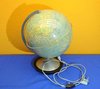
 Dietrich Reimers globe Berlin of 1938
 Columbus Duplex illuminated globe
 Berlin Panorama of 1737 + color graphic of today
 In German Knaurs Welt-Atlas 1932
 Velhagen & Klasing 1887 R. Andrees General hand Atlas
 Map 1850 Cabool, the Punjab and Beloochistan J.B.Allen
 large matrix with crinoids 180 million years Indiana USA
 In German Freytag & Berndt Freytag´s Welt-Altlas
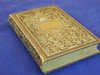
 In German München 1776 Historische Erdbeschreibung
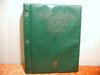
 In German Meyers Neuer Weltatlas 1989
 Guide to Mannheim Pharus plan of Hapag 1910
 Arm Dagger Tuarek Telek/Gozma Leather sheath around 1920
 Stielers school atlas 1863 Gotha Justus Perthes
 Glory band Germania Zwei Jahrtausende deutschen Lebens
 Silver plated bronze cup engraved from Tibet in 1870
 old antique indonesicher cups label 1920
 1975 Reisen in die Felsengebirge Nordamerikas german
 Map German Afrika-Linien Woermann 1: 12000000
 Gaeblers World traffic map 1941 color printing 120x80
 Dobe Santorin Die fantastische Insel signed book
 Medion MD 41600 Pocket PC / navigation with accessories
 Small Columbus globe of 60s
 Orig. Steel engraving 1842 Stone Mill-Weser-Bodenweider
 Orig. Steel engraving framed Neumarkt in Berlin at 1850
 Baedekers Ober Italien und Unter Italien in German
 Kiepert new hand Atlas Kieperts Reimer 1871
 rare table brush + dust pan brass Art Nouveau
 Cannabich Huelfsbuch beim Unterricht in der Geographie
 Schulatlas der Alten Geographie Lehrbuch von 1845 German
 Battle plans 357-1831 mit 98 etchings hand colored
 German Die Landbauzonen der aussertropischen Länder 1899
 GEOGRAPHIE EUROPAS Bilderdienst Pabel - Kauka-Film
 Jubiläumsausgabe Meyers Großkarten Edition Die Erde
 B.Balduinus de calceo antiquo 1733 History footwear
 Steel engraving circa 1850 Rolandseck Gasthof Restaurant
 Etching the Schwarzburg engraved by J.G.Martini 1844
 4 small etchings around 1850 beautiful motives
 German Bericht der Deutschen Hindukusch Expedition 1935
 Memories de la Regence de S.A.R. Mgr. le duc d' Orleans
 German school atlas 1878 Liechtenstern Lange
 Humbold Ritter 1865 Geschichte der Erdkunde
 Sächsischer Schulatlas Ausgabe Dresden in German
 Elemente der Geographie in Karten u. Text
 Zimmermann 1886 Die Wunder der Urzeit
 Feng Shui Bagua compass wooden Case
 African bronze figure with ashtray around 1960
 Etching signed Taubertal Fritz Lange Düsseldorf
 Lidded tin box silvered with asian motifs around 1900
 African tropical wood ornamental bowl drinking giraff
 Die Schatzkammer in Wien Hermann Fillitz German book
 Westermanns general maps No.44 world map 82 x 124 1942
 Fridtjof Nansen Nebelheim Polarforschung 2 volumes 1911
 Hand Atlas for the German House 1934
 HARMS A map series for Berlin schools 1938
We also recommend
 |
 |
 |
 |
 |
 |
 |
 |
 |
 |
 |
 |
 |
 |
 |
 |
 |
 |
 |
 |
 |
 |
 |
 |
 |
 |
 |
 |
 |
 |
 |
 |
 |
 |
 |
 |
 |
 |
 |
 |
 |
 |
 |
 |
 |
 |
 |
 |
 |
 |
 |
 |
 |
 |
 |
 |
 |
 |
 |
 |
 |
 |
 |
 |
 |
 |
 |
 |
 |
 |
 |
 |
 |
 |
 |
 |
 |
 |
 |
 |
 |
 |
 |
*
Prices include VAT, plus delivery
Browse these categories as well: Atlases & Maps, Design 1848-1890 historicism - Gründerzeit, others, Action products
About us |
Service |
Social Media |
Interesting Websites |
| Contact information | Special Offers | google+ |
|
| Main Page | |||
| Terms and conditions | Sales Agent questions | ||
| Privacy Statement | General questions | Travel bear | |
| About us | Shipping Info | blog | Brand Lexicon |
| History and stories | Price proposal | The ecological approach | Worth knowing from A to Z |
| Sitemap | Interesting websites | ||
| Image Gallery - Sold | Tips for Berlin tourists | Purveyor to the court Gebr.Friedlander | |
| Homepage | Promotional products | Guest book | Technology of binoculars |
| Selling Stories | FAQ Frequently Asked Questions | Decoration-proposals-examples | |
| Biographies designer/artist | |||
| Tips silver cleaning |