Welcome to KuSeRa, the online antique trade Germany,
We hope you enjoy looking at our Antique Market - Flea Market - Junk Market - collectors market page.
Here everyone can find something.
From antiques, junk, utensils, porcelain, glass, analogue camera, Design, Art to collectibles.
Everything from a single source.
")
")

![]()
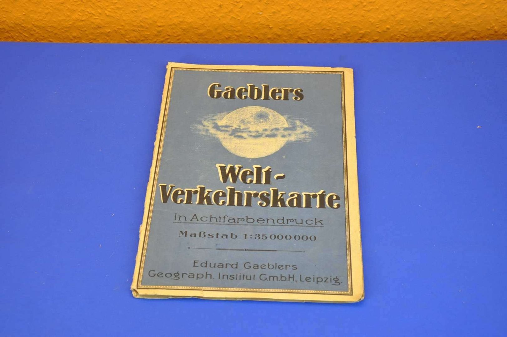
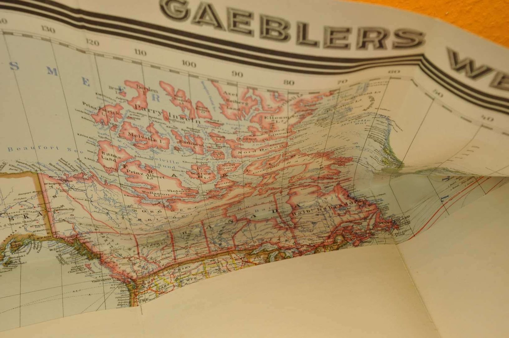
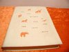
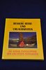
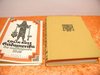
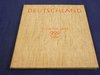
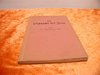
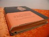
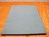
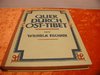
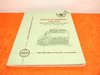
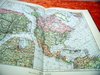
Main page Books Atlases & Maps Gaeblers World traffic map 1941 color printing 120x80
Gaeblers World traffic map 1941 color printing 120x80
Product no.: xop-05504
In stock
can be shipped within 1-2 days
25.00 €
Price includes VAT, plus delivery
Available delivery methods: Customer pickup or, Germany 8,00 Euro, Germany 7,00 Euro, International 1/2/3 12,50 Euro
Accessories
 In German Meyers Neuer Weltatlas 1989
 6 tiling Helgoland Handpainted manufactory * G *
 Agricultural Atlas over the territory of the GDR in 1956
 AFRICA A Guide for Business and Travel 2 volumes
 1901 Baedeker´s Schweiz
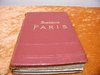
 In German Baedekers Paris 1923 Handbuch für Reisende
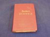
 Fürst Bismarck 1893 Hamburg-Amerikanische Packetfahrt
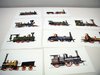
 Picture board b/w Brockhaus 1906 airship I-II
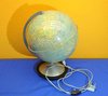
 Columbus Duplex illuminated globe
 1924 Continental Atlas für Kraftfahrer
 Germany's colonies Scheel, Weller & Hüttich 1912
 German Die Landbauzonen der aussertropischen Länder 1899
 Guide to Berlin Pharus plan of Hapag 1910
 In German Freytag & Berndt Freytag´s Welt-Altlas
 Guide to Leipzig Pharus plan of Hapag 1910
 Guide to Mannheim Pharus plan of Hapag 1910
 Guide to London Pharus plan of Hapag 1910
 Guide to Wien Pharus plan of Hapag 1910
 Gäblers small of hand Atlas 1933 Georg Dollheimer Verlag
 Hartlebens Universal Atlas 93 Haupt. 112 Nebenk. 1892
 In German JRO World Atlas hand Edition 1969
 Map Brockhaus 1906 United States of America I-II
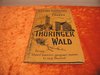
 Kleiner Führer vom Thüringer Wald - in German
 In German Knaurs Welt-Atlas 1932
 Map 1850 Cabool, the Punjab and Beloochistan J.B.Allen
 Map Brockhaus 1906 European Russia I-II
 Map Brockhaus 1906 Army dislocation Central Europe I-II
 Map Brockhaus 1906 Mid West Germany II
 Map Brockhaus 1906 North America I-II
 Map Brockhaus 1906 East-West Prussia, Pomerania, I-II
 Map Brockhaus 1906 East Asia I-II
 Map Brockhaus 1906 Polar countries I-II
 Map Brockhaus 1906 Switzerland I-II
 Map Brockhaus 1906 Scandinavian countries I-II
 Map Brockhaus 1906 Spain and Portugal I-II
 Map Brockhaus 1906 South America I-II
 Map Brockhaus 1906 International Transport I-II
 Map German Afrika-Linien Woermann 1: 12000000
 Maps measuring device made of metal with case 1950
 Leporello 20 AK Color The Rhine from Mainz to Cologne
 1938 Meyers grosser Hausatlas
 Meyers Travel Books Adria 1930
 Mercator Atlas 1595 Faksimile Coron Verlag
 Game of patience PELIKAN ATLANTIS
 Relief map of Bavarian Highlands 3 cards circa 1930
 Justus Perthes 1880 Stielers Handatlas 95 Karten
 Playing cards Schwarzer Peter ASS Altenburg
 Stielers school atlas 1863 Gotha Justus Perthes
 Topographia Germaniae Schwaben 1643
 Teaching Map Design: Station / Designer: Rudolf Dirr
 Velhagen & Klasing 1887 R. Andrees General hand Atlas
 Medion MD 41600 Pocket PC / navigation with accessories
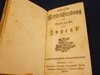
 In German Geographische Fragen Erdbeschreibung von 1728
We also recommend
 |
 |
 |
 |
 |
 |
 |
 |
 |
 |
 |
 |
 |
 |
 |
 |
 |
 |
 |
 |
 |
 |
 |
 |
 |
 |
 |
 |
 |
 |
 |
 |
 |
 |
 |
 |
 |
 |
 |
 |
 |
 |
 |
 |
 |
 |
 |
 |
 |
 |
 |
 |
 |
 |
 |
 |
 |
 |
 |
 |
 |
 |
 |
 |
 |
 |
 |
 |
 |
 |
 |
 |
 |
 |
 |
*
Prices include VAT, plus delivery
Browse these categories as well: Atlases & Maps, Documents / old papers, Design 1910s-1950s Bauhaus / Art Deco, Other
About us |
Service |
Social Media |
Interesting Websites |
| Contact information | Special Offers | google+ |
|
| Main Page | |||
| Terms and conditions | Sales Agent questions | ||
| Privacy Statement | General questions | Travel bear | |
| About us | Shipping Info | blog | Brand Lexicon |
| History and stories | Price proposal | The ecological approach | Worth knowing from A to Z |
| Sitemap | Interesting websites | ||
| Image Gallery - Sold | Tips for Berlin tourists | Purveyor to the court Gebr.Friedlander | |
| Homepage | Promotional products | Guest book | Technology of binoculars |
| Selling Stories | FAQ Frequently Asked Questions | Decoration-proposals-examples | |
| Biographies designer/artist | |||
| Tips silver cleaning |